
468K
Total Mappersⓘ Total number of Mappers using HOT Tasking Manager - As of Dec. 2023
246.7M
Total Map Editsⓘ Total number of edits mapped using HOT Tasking Manager - As of Dec. 2023
147.5M
Buildings Mappedⓘ Total number of buildings mapped using HOT Tasking Manager - As of Dec. 2023
2.7M
Roads Mapped (KM)ⓘ Total length of roads mapped using HOT Tasking Manager - As of Dec. 2023
Updates

Our End-to-End Mapping Solution: Training the Balinese Disaster Response Team in Karangasem
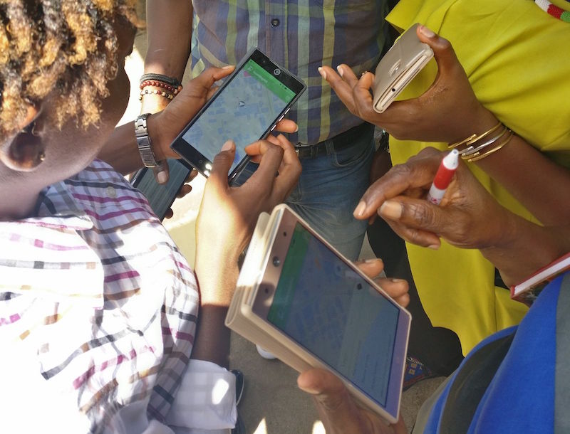
HOT envisions an ecosystem of open mapping technology that enables everyone, and in particular vulnerable communities, to make the right open map data available in order to use that to make a positive impact on people’s lives.
.jpg)
Climate Mapping Campaign: Help map Eastern & Southern Africa to fight climate change!
The devastating impacts of climate change, from intense cyclones to prolonged droughts, are threatening the lives and livelihoods of millions in Eastern and Southern Africa. At HOT's Open Mapping Hub (OMH-ESA), we are dedicated to advancing open mapping solutions for community development and social impact.
.jpg)
HOT's statement on the one-year anniversary of the war in Sudan
Today marks the one-year anniversary of the start of the war in Sudan. The conflict has resulted in more than 14,000 lost lives, 8...
Our Impact
HOT's work is global in scale and contributes to the achievement of the Sustainable Development Goals (SDGs). Our Monitoring and Evaluation framework is constantly evolving to ensure tangible and measurable impact. Check out our core impact areas and learn more about where we're making a difference.
Tools & Data
Access free, open source tools for community mapping. Export data from OpenStreetMap for humanitarian and development programs.
View the tools
Community & Events
Learn about the community and the latest events — especially about the Open Summit 2023, a decentralized, year-long program of 13 global, regional, and local conferences.
Learn more

Partnerships
Want to know more about ways you can partner with HOT? Start creating and supporting the #GlobalGoals with free, open map data through becoming a partner.
Become a partner
